Product code: AG-298
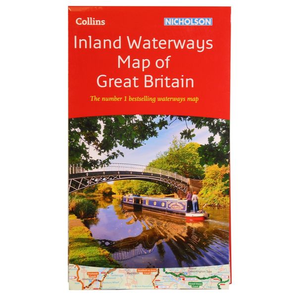
Collins Waterways Map of Great Britain is a companion to the Collins/Nicholson Waterways Guides, covering the entire network of canal and river navigations in England, Scotland and Wales, including Read more

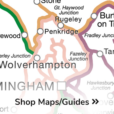
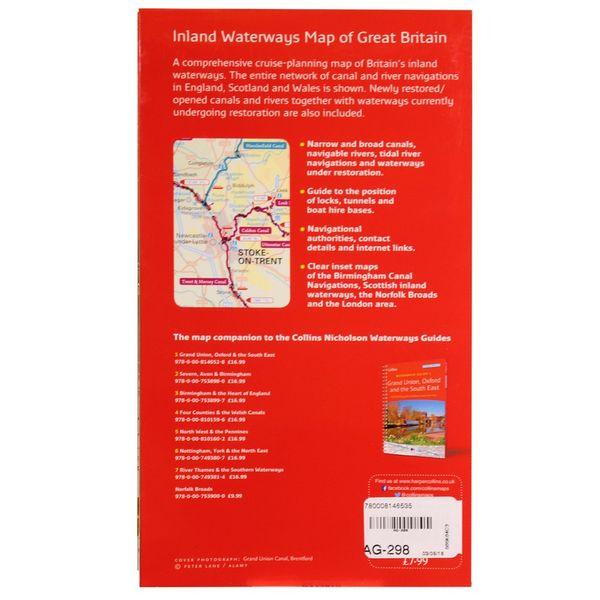
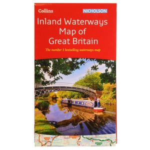
Collins Waterways Map of Great Britain is a companion to the Collins/Nicholson Waterways Guides, covering the entire network of canal and river navigations in England, Scotland and Wales, including newly restored/opened canals and rivers.
The map identifies: • narrow and broad canals, navigable rivers, tidal river navigation's, waterways under construction.
Also: Contact telephone numbers and dimensions for each waterway;internet links. Clear insets of the Birmingham Canal Navigation's, Scottish inland waterways, the Norfolk Broads and the London area.
| Brand | Nicholson |
£9.57
This site is protected by reCAPTCHA and the Google Privacy Policy and Terms of Service apply.
We’d love to keep you updated on the latest news and offers by email.